NEOCART

EFFICIENCY IN CREATING MAPS

neo1

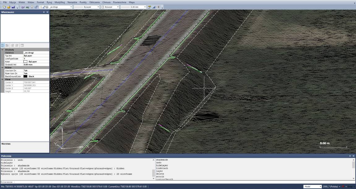
The Neocart application is a high-quality, efficient 3D graphical environment. It is compatible with AutoCAD in terms of data formats and user interface. It has a geodetic calculation module integrated with the map, support for raster and many coordinate systems. It allows you to work with a point cloud already in the basic version of the program. Thanks to its open architecture, it provides data exchange in many formats and is ready to be extended with new functions.

neo2

COMPATIBLE WITH AUTOCAD

Neocart is not an add-on for Autocad or Microstation. The user does not have to bear the additional costs of purchasing the listed programs. Due to the similar functionalities and naming of functions to AutoCad, a user who knows its basics is able to quickly get used to working in Neocart. Compatibility of a large group of object definitions from the DWG format (including the 2018 version): Line, Lwpolyline, Polyline3d, Arc, Circle, Elipsis, Spline, Multiline, 3dFace, Solid, Text, Mtext, Hatch, Insert, Wipeout, Viewport, Ucs , View, Image; and definitions of text styles, line types, multilines, points, etc.
neo3

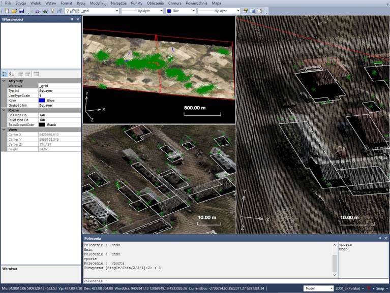
WORK IN MULTIPLE VIEWS

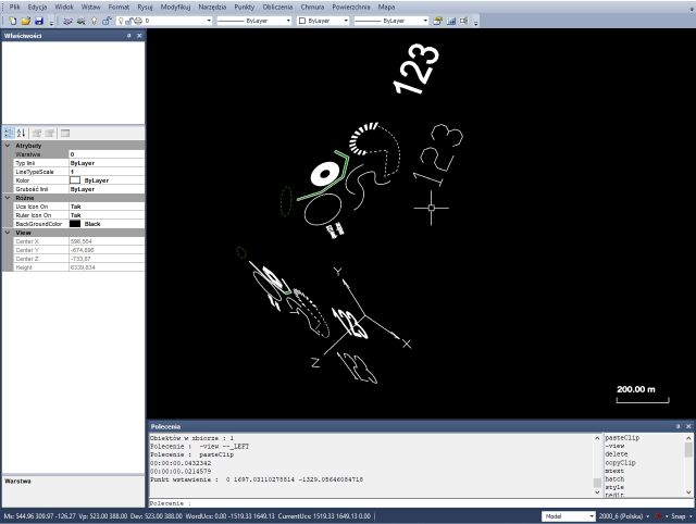
Neocart allows you to work on many views at the same time, which significantly increases the comfort of work and efficiency.

neo3

INTEGRATED COMPUTING MODULE

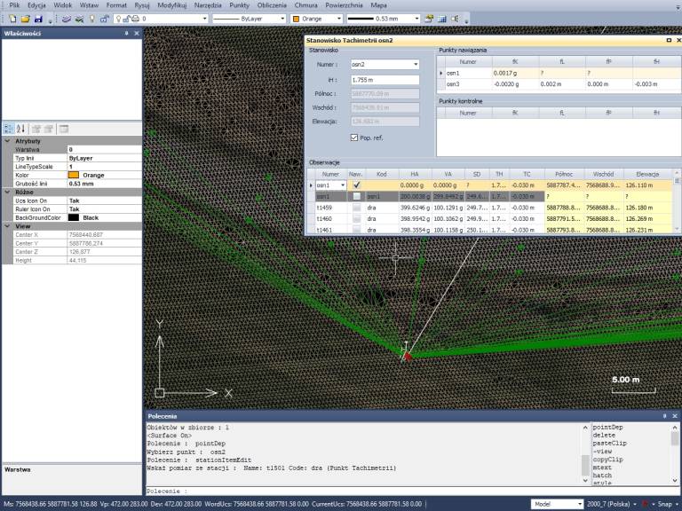
The geodetic computing environment is integrated with the map. The following measurements are made directly on the map: orthogonal, polar, traverses, intersections, coordinate transformations (including between coordinate systems), indentations, levelling, satellite measurements. It is also possible to import measurement data from field recorders (e.g. JOBXML).

neo5

ANY COORDINATE SYSTEMS

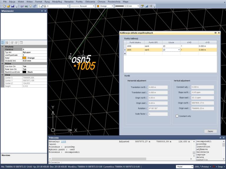
The user can define arbitrary coordinate systems by means of ellipsoid definitions, projections or transformations. Neocart provides support for various geoid formats and layout offsets. The 3D coordinate system can also be calibrated based on GNSS measurements.

neo6

CALCULATION REPORTS

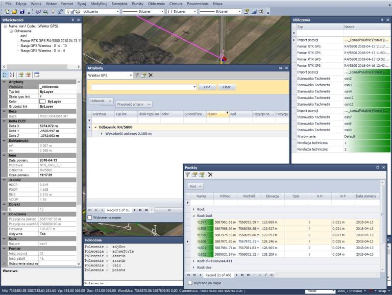
In Neocart, exact coordinate alignment can be performed, also for integrated GNSS and classic surveys. Measurement data is collected and grouped automatically. Their verification and analysis is integrated with the map. It is possible to create personalized measurement reports, which are also integrated with the map. The data contained in the map can be viewed in the tabular view. The user has the option of grouping, filtering, summing, selecting objects for editing, etc.

neo7

MEASUREMENT DATA CHECK

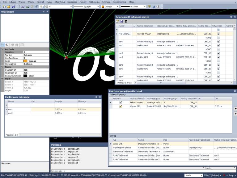
Neocart has an extensive measurement data quality control module with an intuitive system of informing about exceeding the permissible error values, etc.

neo8

RASTER SUPPORT

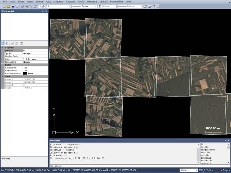
The Neocart raster environment can easily load hundreds of orthophotos. Calibrates scans based on affine, polynomial and other transformations.

neo9

COORDINATE SYSTEMS

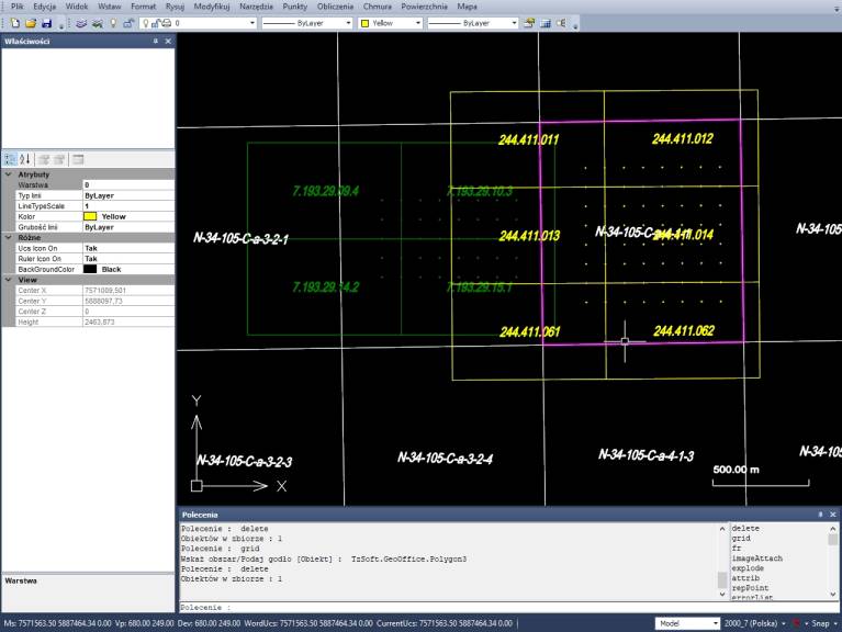
Neocart users can define sections of coordinate systems and download raster data from WMS servers (orthophotos, topographic maps, catastral data). Neocart is integrated with the State Border Register.

neo10

POINT CLOUD

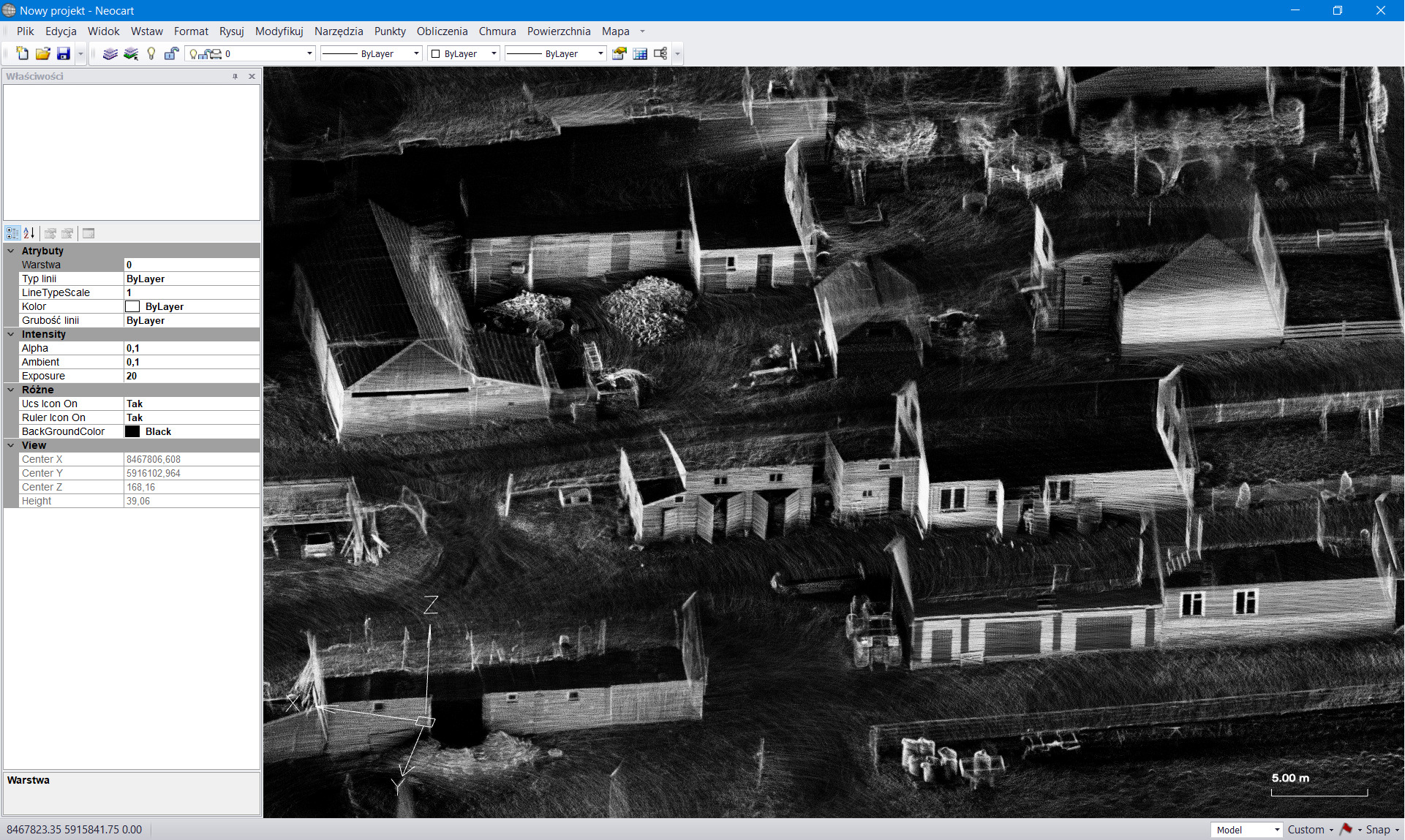
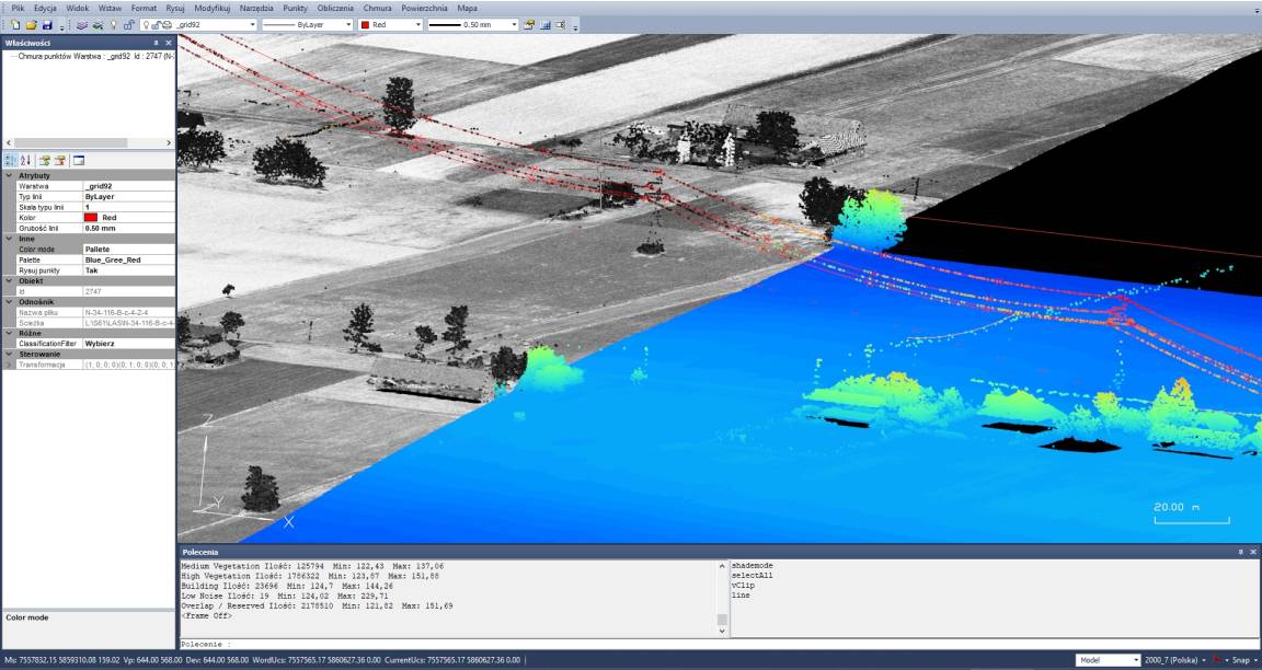
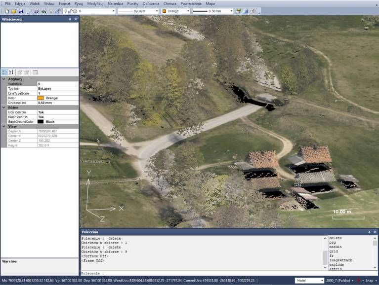
Neocart provides an efficient graphical interface that allows you to load and work on point clouds also imported from photogrammetric registrations.

neo11

DIGITIZATION

In Neocart, it is possible to digitize points directly from the point cloud, filter points and visualize them. You can create TIN surfaces from a point cloud, survey data, or map objects. Neocart also detects objects from the point cloud, e.g. planes, circles, arcs, lines.

neo12 neo13

TIN SURFACES

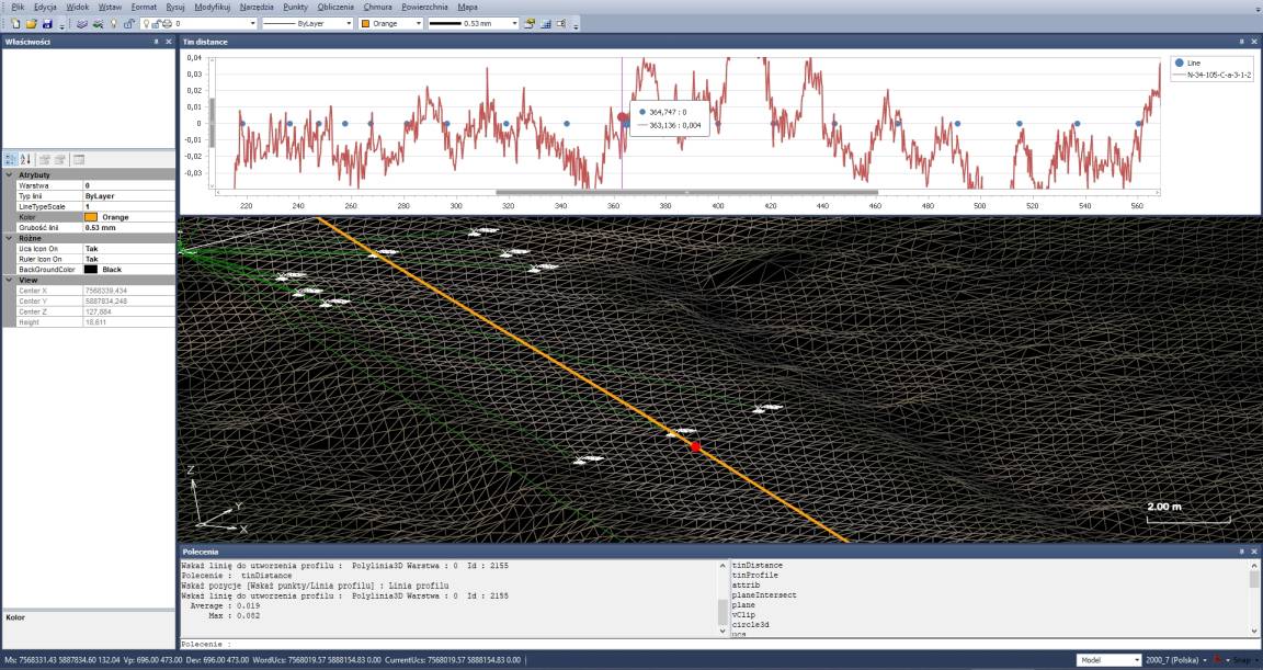
Contour and elevation calibration can be generated from the TIN surface. Various analyzes and data checks are available related to TIN surfaces. An example is the earth mass balance. You can also create profiles and cross sections of TIN surfaces.

DATA IMPORT/EXPORT

Neocart provides import and export of many data formats:
– object definitions (BDOT500, EGiB, GESUT)
– import/export of the GM format.
– creating an object-oriented database in accordance with the relevant regulations.
– import of SWDE descriptive and graphical data.
– import/export of SHP graphic data.